CAMP NELSON TRAIL
| Season: | May through October |
| Distance: | 3.3 miles, one way |
| Elevation: | Trail head: 5,120 feet
End of trail: 6,780 feet Gain: 1,660 feet |
| Difficulty: | Down – Easy, 2 hours
Up – Moderate – 3 hours |
| Drinking water: | In the river & some springs |
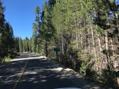
This hike takes you through the McIntyre and Wheel Meadow Groves of Giant Sequoias. Most of the hike is on a gradual grade up the Tule River. The last part of the trail is steep, meeting Highway 190 about 3/4 mile below the Quaking Aspen Campground. The trail is signed at this point “Camp Nelson Trail 31E30”.
If you can arrange a pickup or a car shuttle, you can hike one way. This makes a wonderful short hike if you are not up to a round trip.
Drive east on Nelson Drive in Camp Nelson to its very end at the top of the McIntyre cabin tract. Pease be careful to park you car well out of the road and not in driveways leading to the cabins. The start of the trail is not easy to find, but once on it, it is easy to follow. For nearly two miles you pass through groves of Sequoias. About 1/2 miles from the start, the trail crosses to the south side of the river, which can be difficult, especially in the spring and early summer.
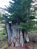
After about 1.1 miles, the trail meets a retired logging road that leads up to Cedar Slope, turn left on it for about 100 feet, then turn right on the trail. One of the interesting features of the Wheel Meadow Grove is the “Wishbone Tree”, which has a hole burned through the base large enough to easily accommodate the trail. One can ride a horse through it without difficulty.
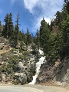
Just before the trail begins its steep climb to the highway, it again crosses a much diminished Tule River that can be a problem in the spring. A large fallen tree crosses the stream about 200 feet above the trail and is frequently used a bridge. The trial continues steeply up the slope for about 1/2 mile to 190.


