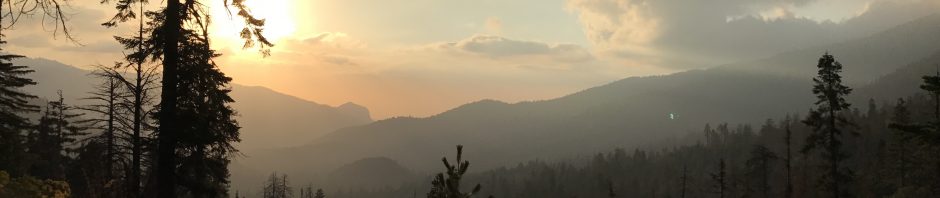
Some photos and video from a Sunday walk from the Golden Trout Wilderness Pack Station down to 21S50, and a shot of the beautiful Quakin Aspen Meadow.
The streams are still running!
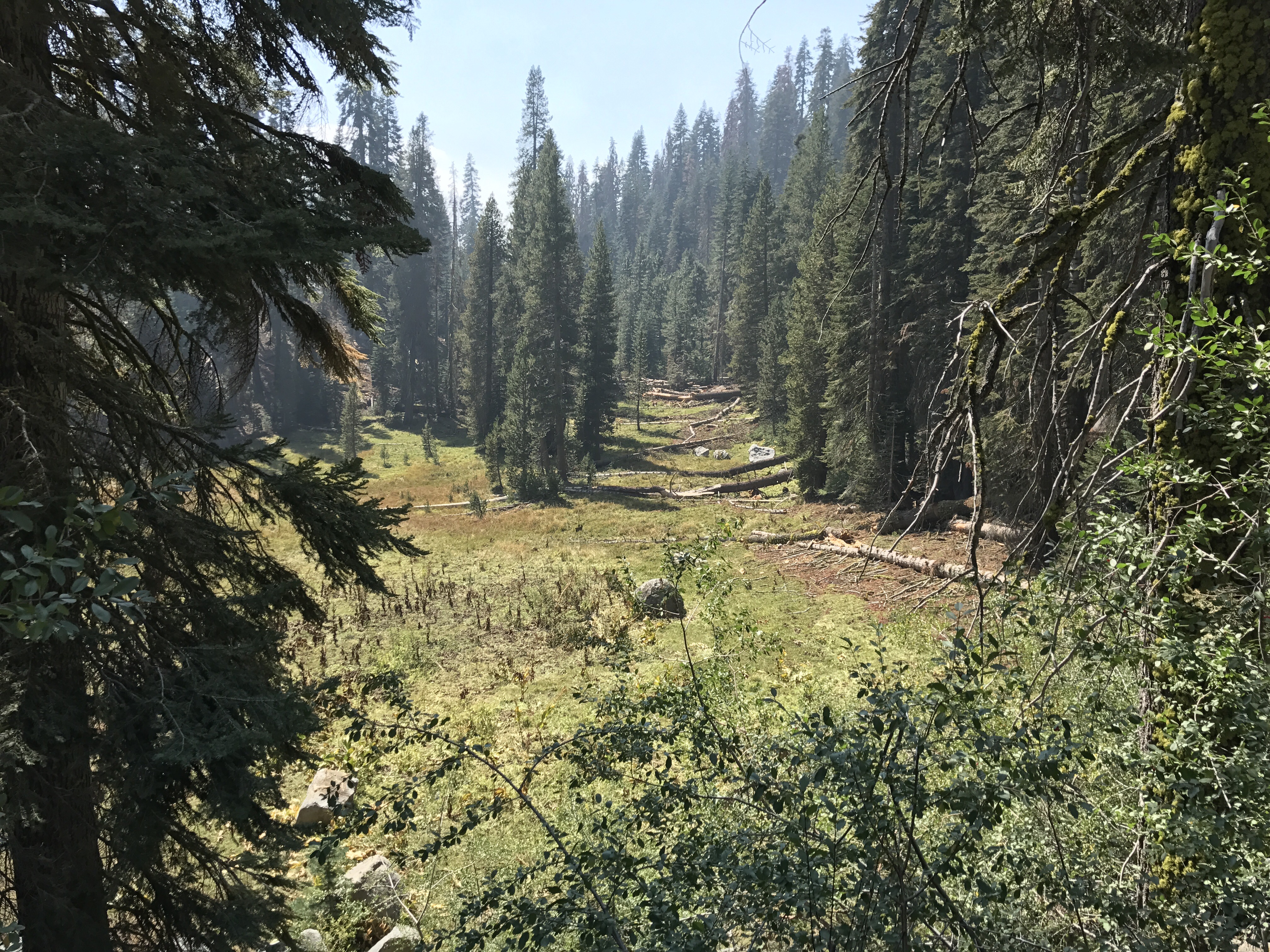
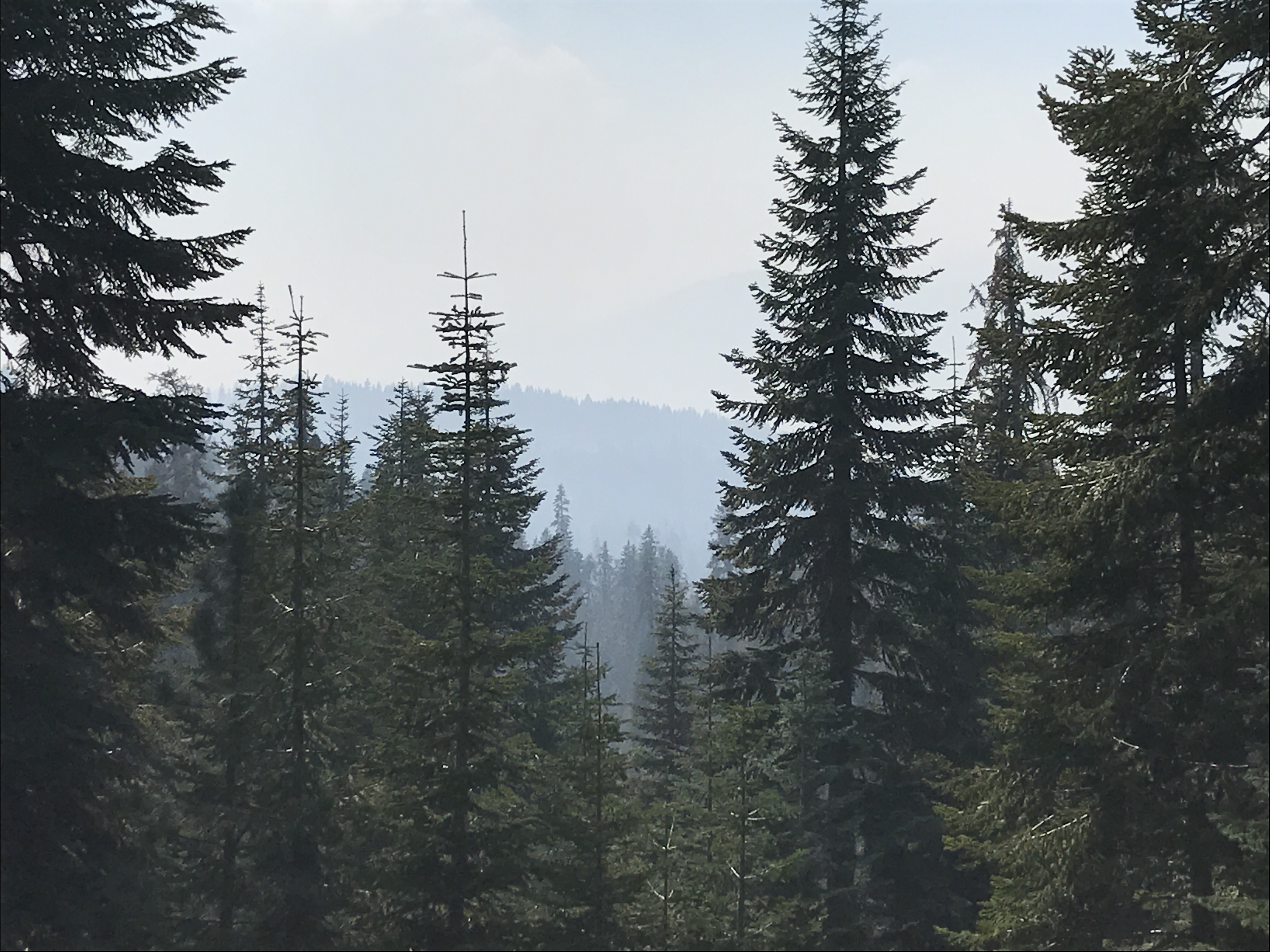
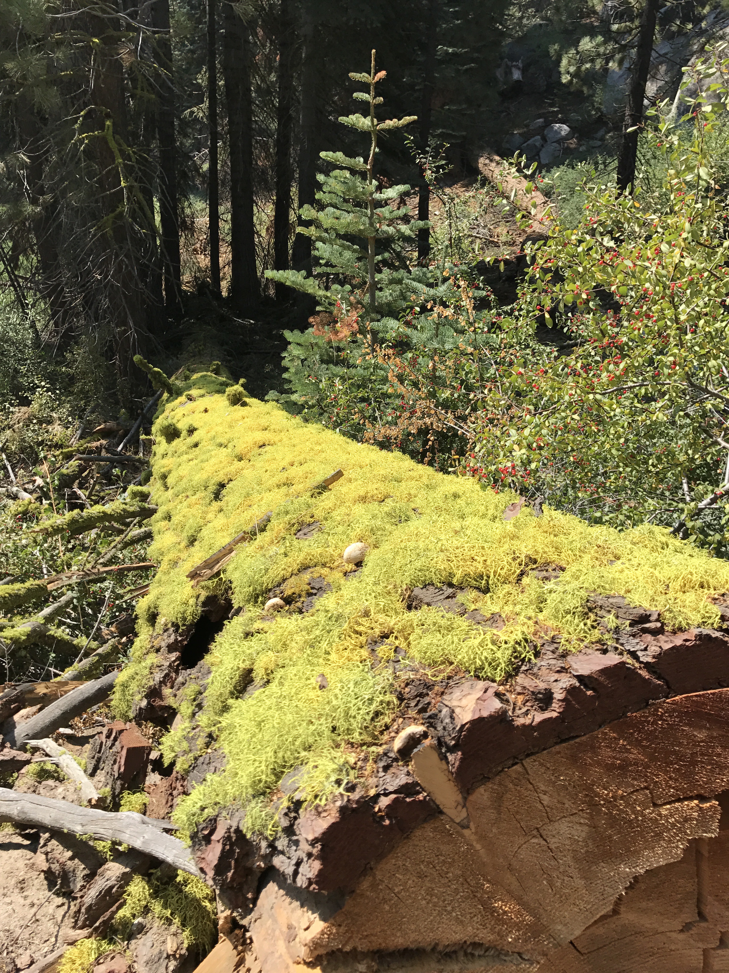
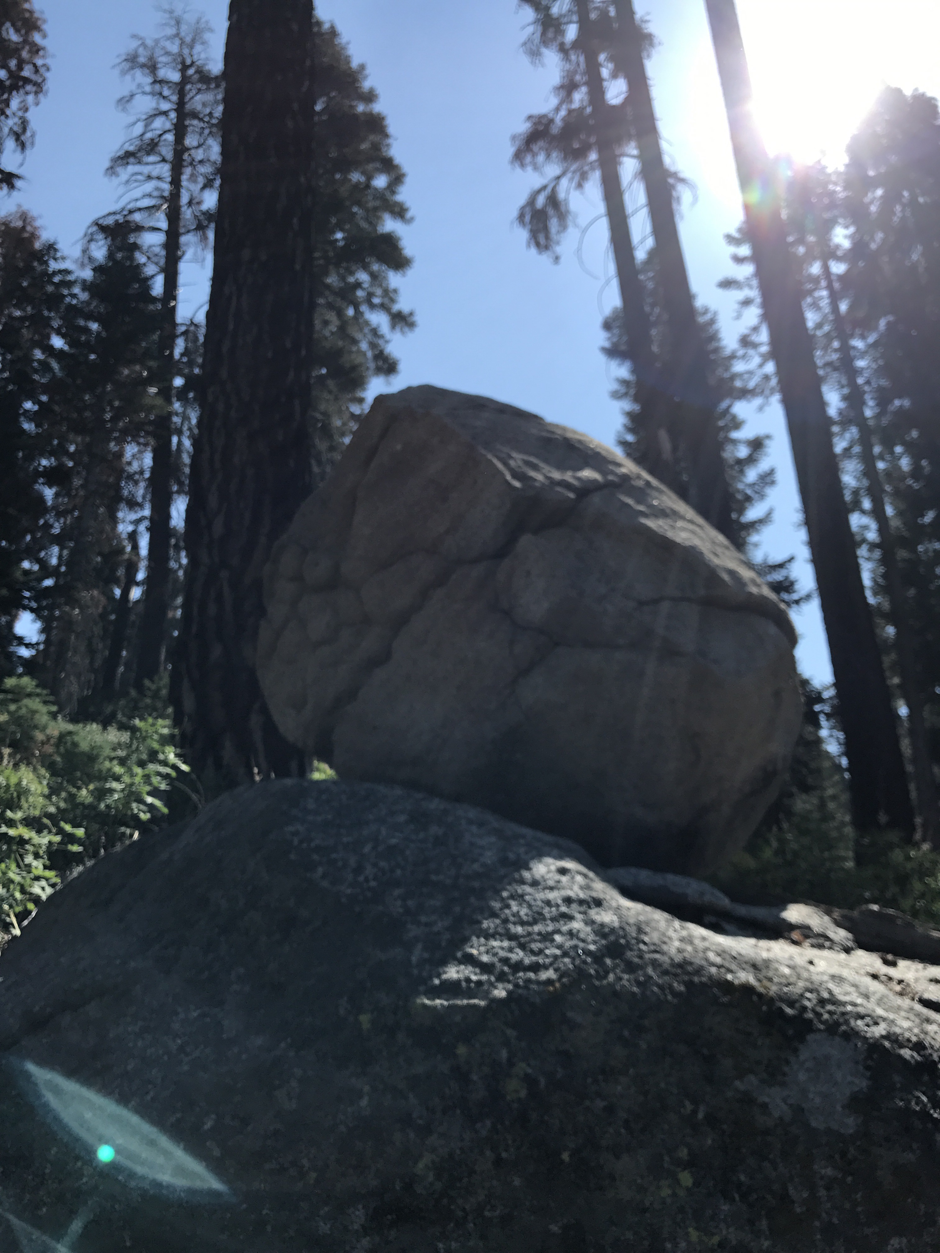
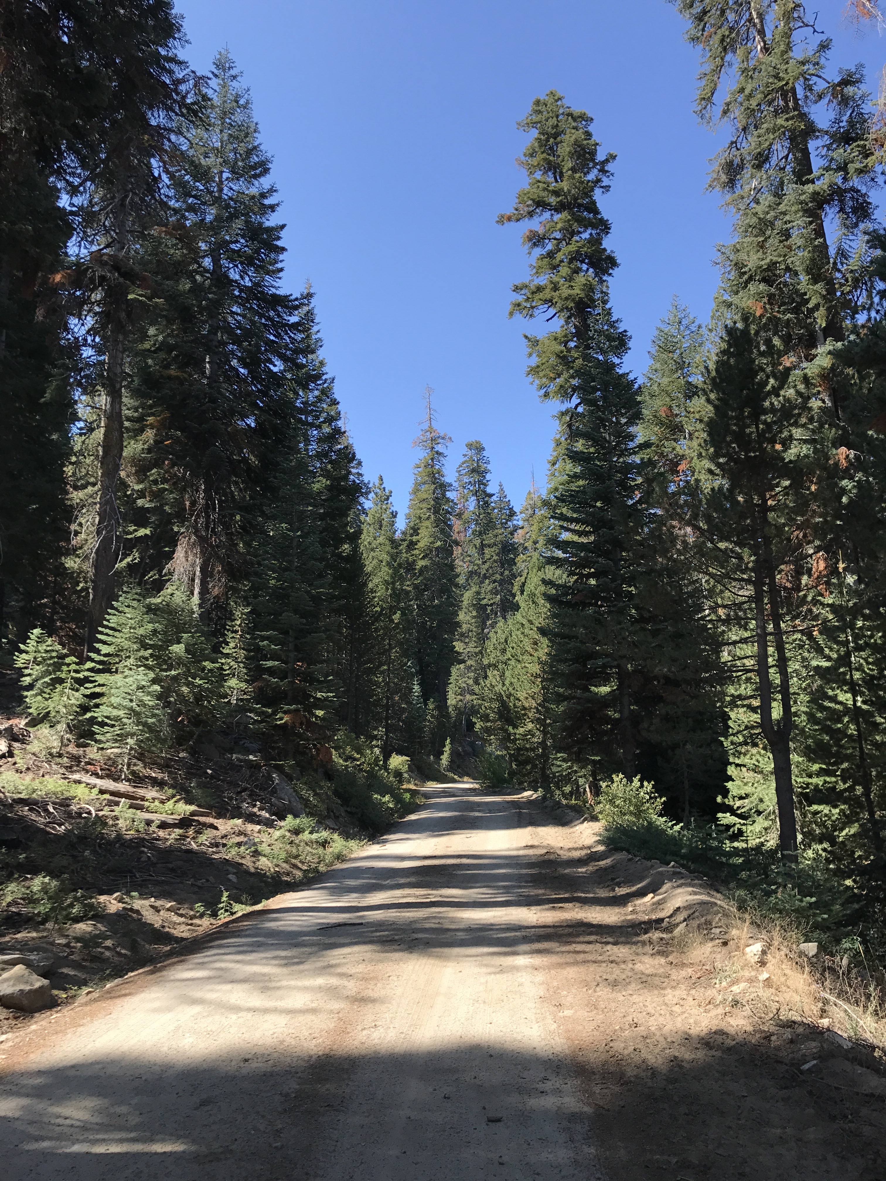
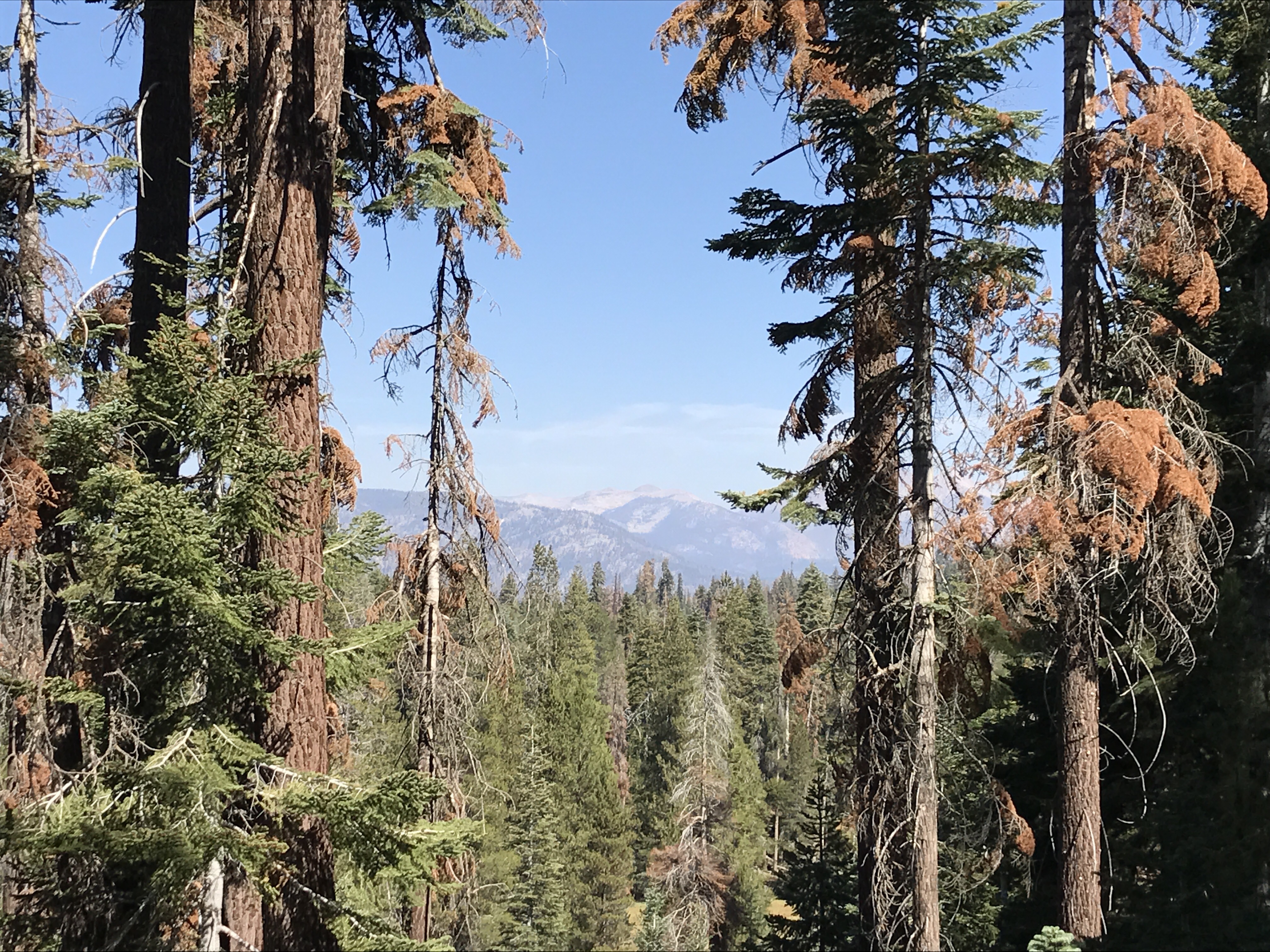
Some photos and video from a Sunday walk from the Golden Trout Wilderness Pack Station down to 21S50, and a shot of the beautiful Quakin Aspen Meadow.
The streams are still running!
Estimated Containment Date Wednesday September 20th, 2017 approx. 12:00 AM
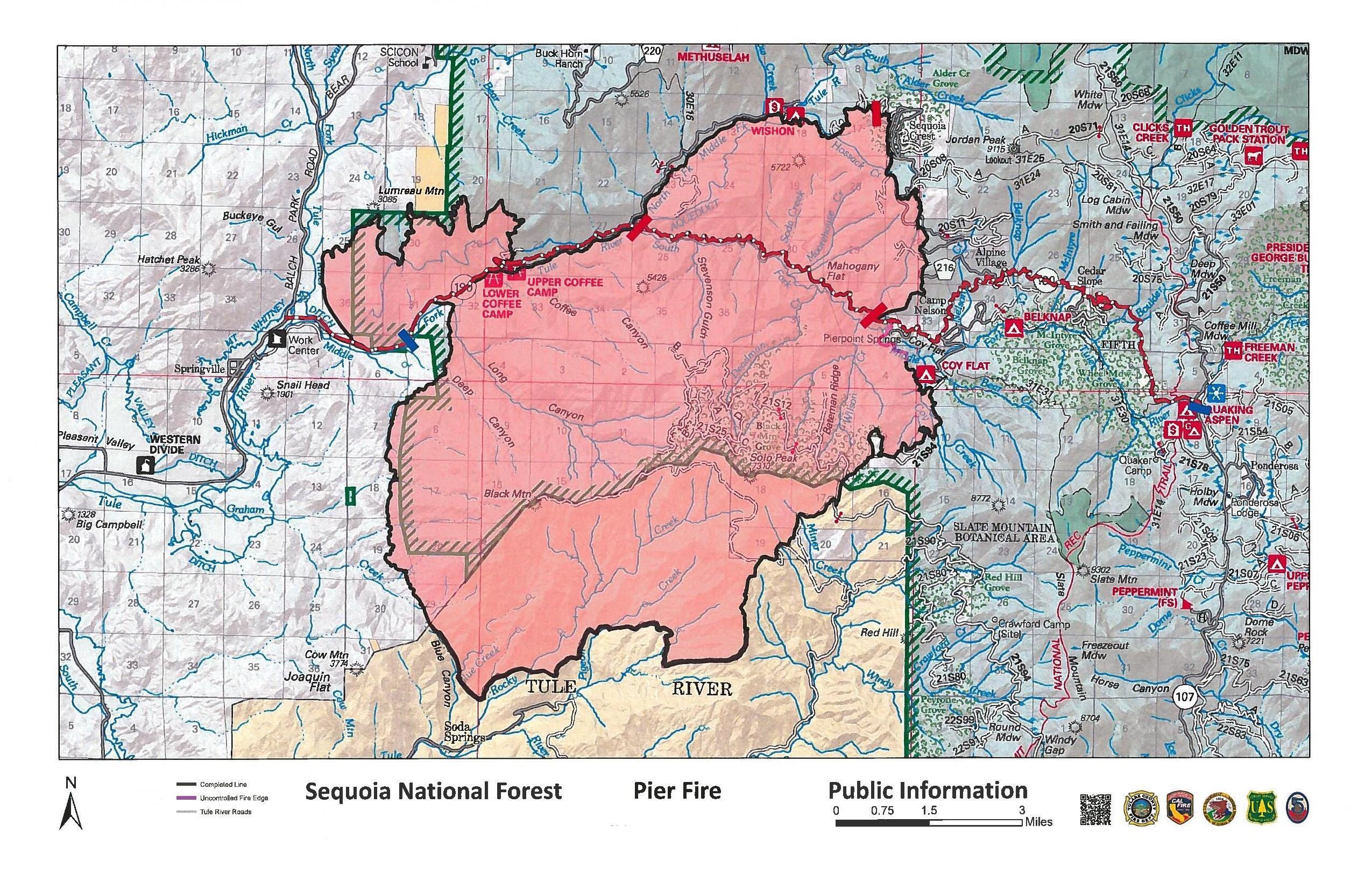
Work continues to fully contain the fire, focusing on that area west of Pierpoint Springs where the fire still smolders on the south side of the Tule River. Crews continue to extinguish hot spots along the southern perimeter. Active fire is expected to continue burning through unburned pockets of vegetation until winter rains fully extinguish them. These areas are well within the interior of the fire, and will likely be visible from nearby communities. The escape potential is low, all perimeter lines are being patrolled by fire personnel.
All travelers in the fire area should use extreme caution when driving. Be aware of potential safety hazards such as falling rocks, fire-weakened trees, downed broken/burned tree limbs, and heavy equipment along roadways. Southern California Edison and Pacific Gas and Electric are working to replace infrastructure that was damaged by the fire. Expect traffic delays when travelling along Highway 190. This work is necessary to have power restored to mountain communities. Impacted residents may contact Southern California Edison at (800) 611-1911 for further information.
Forest trails, roads, and lands around the Pier Fire remain closed under a Forest Closure Order. A current map of the closure area can be found on Inciweb Closure Information. The public, including local residents, are reminded that despite Highway 190 being reopened, the Forest area remains closed due to hazardous conditions from the Pier Fire. As hazards are reduced, some areas may be reopened. The most up-to-date closure information will be posted on Inciweb as conditions change. For recreational information, please call the Western Divide Ranger District at 559-539-2607.
Basic Information
Current as of 9/19/2017, 10:42:12 AM
Incident Type Wildfire
Cause Human (under Investigation)
Date of Origin Tuesday August 29th, 2017 approx. 02:30 AM
Location Highway 190 at Wishon Road 7 miles east of Springville
Incident Commander Angel Prieto (t) Ernie Villa
Current Situation
Total Personnel 618
Size 36,556 Acres
Percent of Perimeter Contained 95%
Estimated Containment Date Wednesday September 20th, 2017 approx. 12:00 AM
Fuels Involved
Primary fuels are dormant brush, hardwood slash, and closed timber litter. The fire is located in a heavy tree mortality area. The southern portion of the fire is burning in a location with little to no recorded fire history.
Significant Events
Interior burning active throughout the day and night. Expect this to continue until area receives heavy precipitation.
Outlook
Planned Actions
Hold, improve, and mop up completed line. Continue suppression repair and provide structure defense as appropriate.
Projected Incident Activity
Remarks
All portions of Highway 190 were reopened to the public on Monday September 18 at 10 am. No evacuations in place. Forest closure still in effect for Forest areas surrounding the Pier Fire.
Inciweb
 ANNOUNCEMENTOfficials Lift All Evacuation Orders for the Pier Fire, Highway 190 Opened
Effective 10:00 am on Monday, September 18, 2017, officials will lift all voluntary evacuation orders for communities impacted by the Pier Fire.
Size: 36,556 acres
Fire Start: August 29, 2017
Containment: 95%
Location: Highway 190, east of Springville
Total Personnel: 450
Cause: Human caused, under investigation
Resources: Crews 10, Helicopters 3, Engines 19, Dozers 6, Water Tenders 10, 1 Air Attack
Fire Summary: Weather was favorable over the past few days to allow firefighters to complete the necessary firing operation along the southern perimeter of the fire on the Tule River Indian Reservation. Over the next few days, work will continue to secure the southern perimeter line, mop up hot spots, and continue efforts on fire suppression repair.
Hand crews will be working to secure that five percent of uncontained line near Pierpoint Springs. The steep and rugged terrain along the south side of the Tule River makes access nearly impossible. Efforts will be made to put out remaining hot spots and continue to secure that edge. The majority of active fire will be well within containment lines, residual smoke from this location will be visible to local residents. The escape potential is low.
California Interagency Incident Management Team 5, under the command of Mike Minton, would like to thank cooperators and community members for their support throughout the fire-suppression effort. Today, a local Type 3 team from the Sequoia National Forest and Tule River Indian Reservation assumed command of the Pier Fire. Numbers of personnel will continue to decrease as full containment is reached.
Effective at 10 a.m. today, Tulare County officials lifted all evacuation orders for the Pier Fire, Highway 190 is now open to traffic…
Officials lifted all voluntary evacuation orders for communities impacted by the Pier Fire. These include: Alpine Village, Camp Nelson, Cedar Slope, Doyle Springs, Mountain Aire, Rogers Camp, Pierpoint Springs, Sequoia Crest and Wishon.
Returning residents should show extreme caution and be aware of potential safety hazards, such as falling rocks and fire-weakened trees, downed broken/burned tree limbs, and heavy equipment along roadways. Residents should also be cautious with smoke inhalation; for a full list of health and safety precautions visit http://www.tularecounty.ca.gov/emergencies.
Southern California Edison has begun to restore power to various areas affected by the Pier Fire. Impacted residents may contact Southern California Edison at (800) 611-1911 for further information.
Residents who experienced long-term power loss are urged to show caution when using their appliances for the first time. Do not consume refrigerated or frozen food stored in appliances that may have lost electricity. Dispose of these item properly.
Area Closures: Sequoia National Forest trails, roads, and lands around the Pier Fire are closed (Closure Order No. 0513-17-34, https://inciweb.nwcg.gov/incident/article/5548/39662/.
Basic Information
Current as of 9/18/2017, 9:27:38 AM
Incident Type Wildfire
Cause Human (under Investigation)
Date of Origin Tuesday August 29th, 2017 approx. 02:30 AM
Location Highway 190 at Wishon Road 7 miles east of Springville
Incident Commander Mike Minton, California Interagency Incident Management Team 5
Current Situation
Total Personnel 1,339
Size 36,556 Acres
Percent of Perimeter Contained 95%
Estimated Containment Date Wednesday September 20th, 2017 approx. 12:00 AM
Fuels Involved
Primary fuels are dormant brush, hardwood slash, and closed timber litter. The fire is located in a heavy tree mortality area. The southern portion of the fire is burning in a location with little to no recorded fire history.
Significant Events
Fire weakened trees influenced by recent fire activity will continue to provide a strong mechanism for rollout.
Outlook
Planned Actions
Hold, improve, and mop up completed line. Continue suppression repair and provide structure defense as appropriate.
Projected Incident Activity
Remarks
A Type 3 organization from Sequoia NF will assume command of the Pier Fire at 0600 Monday morning – Sept. 18, 2017. The Pier Fire has identified an Initial attack Package to be made available should the need arise.
Current Weather
Weather Concerns
Mostly clear with lows 55-62 in the lower elevations and 45-53 in higher terrain. Maximum relative humidity 60-80%.
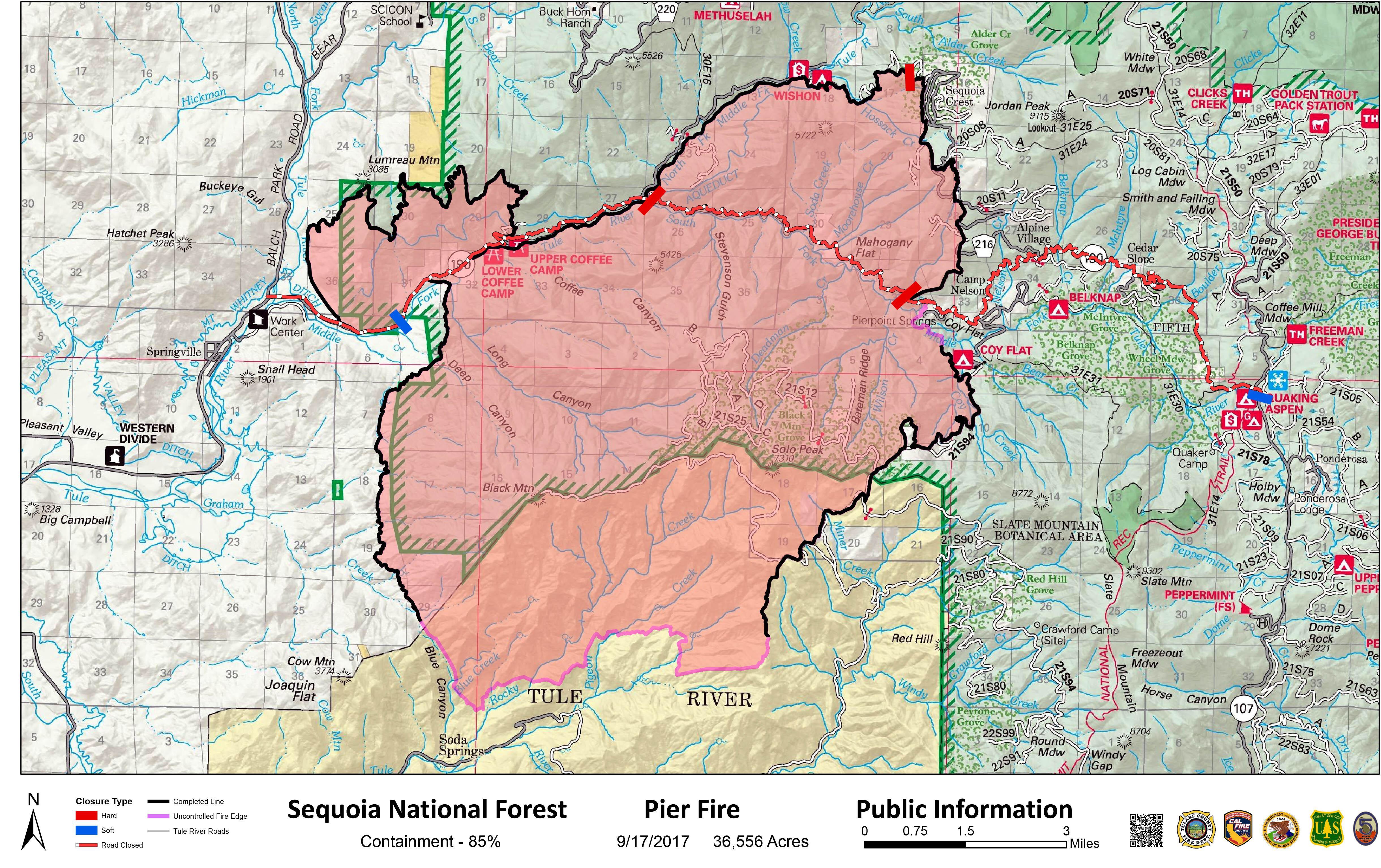
Size: 36,556 acres
Fire Start: August 29, 2017
Containment: 85%
Location: Highway 190, east of Springville
Total Personnel: 1,339
Cause: Human caused, under investigation
Resources: Crews 28, Helicopters 7, Engines 85, Dozers 12, Water Tenders 12
Fire Summary: Weather was favorable yesterday, supporting the successful firing operation on the ridge above Blue Canyon to the dozer lines east of the 2¼ Road within the Tule River Indian Reservation. The final containment line is now complete between these two points. The majority of active fire will be well within containment lines and residual smoke from this location will be visible to local residents. The escape potential is low, with overall containment at 85 percent.
The spot fire on the east side near Pierpoint Springs is still being monitored by firefighters. Ground fuels continue to burn within contingency lines, removing future potential of ignition.
A portion of Highway 190 between County Road 208 and Pierpoint Springs remains closed. The incident management team and cooperators are aware that it is a burden to residents and travelers; however, the road will remain closed until safer travel is attainable. The current hazards that keep Highway 190 closed are being evaluated daily. Once hazards within our control are mitigated, the road will be opened. Once it is opened, continue to use caution.
Crews continue to identify and cut hazard trees and remove debris from roadways. Firefighters will continue to patrol and mop-up containment lines. Anticipate smoke throughout the interior and perimeter of the fire for an extended period of time due to pockets of unburned vegetation.
Backhauling of excess firehose and equipment is being carried out. Fire engines and heavy equipment are large, slow, and often stop in locations unusual to normal traffic flow. Drive with caution.
Whenever a fire such as this takes place in a community, there are significant effects. One of those effects is the use of constructed fireline. Constructed fireline is when terrain is scraped down to mineral soil by firefighters using hand tools or bulldozers, making a fire break between burned and unburned fuels. When fire suppression is finished, it the practice of the fire service to repair fireline back to its original state. More than 170 miles of roads and fireline surround the Pier Fire.
Fifty of those miles have been repaired. There will be a presence of heavy equipment and trailers around the perimeter of this fire over an extended period as repair work continues.
California Interagency Incident Management Team 5, under the command of Mike Minton, would like to thank cooperators and community members for their support throughout the fire-suppression effort. Tomorrow at 6 a.m. the team will transfer command of the Pier Fire to a local Type 3 team from the Sequoia National Forest and the Tule River Indian Reservation. The incident command post will remain at Porterville Fairgrounds.
Weather: Mostly sunny with the highs between 75-84 below 3,000 feet and between 65-74 in higher elevations. Minimum relative humidity will be between 25-35% below 3,000 feet and 42-52% above 3,000 feet. Downslope winds will be between 1-4 mph through 8 a.m., becoming upslope/upcanyon at 3-6 mph with gusts up to 12 mph after 12 p.m. Ridgetop winds west to northwest at 3-6 mph.
Evacuations: Voluntary evacuations will remain in place for residence in the communities listed below. Returning residents MUST show proof of residency to posted law enforcement to gain access. Examples of accepted documentation are as follows: driver’s license with residency address, utility bill with name and residency address, or PO Box documentation from the U.S. Post Office. The following communities are under voluntary evacuation: Alpine Village, Camp Nelson, Cedar Slope, Doyle Springs, Mountain Aire, Rogers Camp, Pierpoint Springs, Sequoia Crest, and Wishon.
Area Closures: Sequoia National Forest trails, roads, and lands around the Pier Fire are closed (Closure Order No. 0513-17-34, https://inciweb.nwcg.gov/incident/article/5548/39662/. CAL FIRE has closed Mountain Home State Forest, and Tulare County has closed Balch Park. All areas are closed until the fire is brought under control. Suppression repair work will take additional time after the fire is contained; recreationalists should plan ahead.
Road Closures:
Highway 190 is closed to ALL public between County Road 208 and Pierpoint Springs.
Highway 190 between Upper Rio Vista Road and County Road 208 is a hard closure for nonresidents and a soft closure for residents with photo ID and proof of residency.
Highway 190 between Pierpoint Springs and Ponderosa is a hard closure for nonresidents and a soft closure for residents with photo ID and proof of residency.
Residents returning to Doyle Springs and Wishon are able to access Highway 190 at Upper Rio Vista and continue along County Road 208. All other residents must use the Western Divide Highway through Pondersoa to access the area. Residents must show proof of residency to law enforcement located at Upper Rio Vista Road and at Forest Road 21S50.
Smoke:
Daily updated information for the levels of smoke in communities affected by the Pier Fire; http://wildlandfiresmoke.net/outlooks/2017/Pier#Main
People with respiratory conditions, young children, and elderly people may be susceptible to adverse effects. Air District officials urge residents to follow their doctor’s advice. For more information, see https://www.cdc.gov/features/wildfires/index.html or http://valleyair.org/wildfires.htm
Basic Information
Current as of 9/17/2017, 9:51:45 AM
Incident Type Wildfire
Cause Human (under Investigation)
Date of Origin Tuesday August 29th, 2017 approx. 02:30 AM
Location Highway 190 at Wishon Road 7 miles east of Springville
Incident Commander Mike Minton, California Interagency Incident Management Team 5
Current Situation
Total Personnel 1,339
Size 36,556 Acres
Percent of Perimeter Contained 85%
Estimated Containment Date Wednesday September 20th, 2017 approx. 12:00 AM
Fuels Involved
Primary fuels are dormant brush, hardwood slash, and closed timber litter. The fire is located in a heavy tree mortality area. The southern portion of the fire is burning in a location with little to no recorded fire history.
Significant Events
Fire weakened trees influenced by recent fire activity will continue to provide a strong mechanism for rollout.
Outlook
Planned Actions
Hold, improve, and mop up completed line. Continue suppression repair and provide structure defense as appropriate.
Projected Incident Activity
Remarks
A Type 3 organization from Sequoia NF will assume command of the Pier Fire at 0600 Monday morning – Sept. 18, 2017. The Pier Fire has identified an Initial attack Package to be made available should the need arise.
Current Weather
Weather Concerns
Mostly clear with lows 55-62 in the lower elevations and 45-53 in higher terrain. Maximum relative humidity 60-80%.


