
Since highway 190 is still closed going up the mountain, we took the southern route through California Hot Springs. So nice to not have smoky air as we do in Valley.
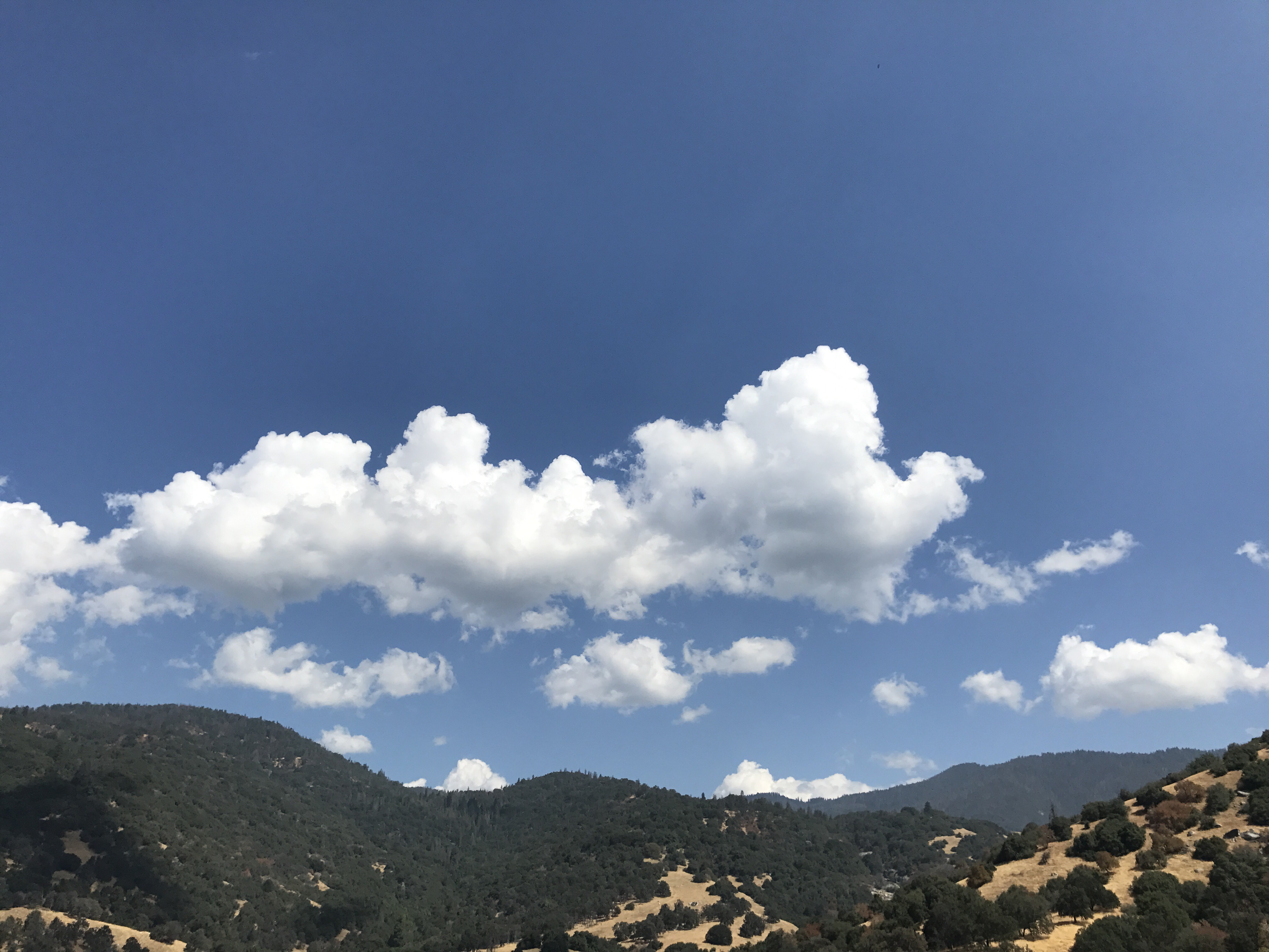
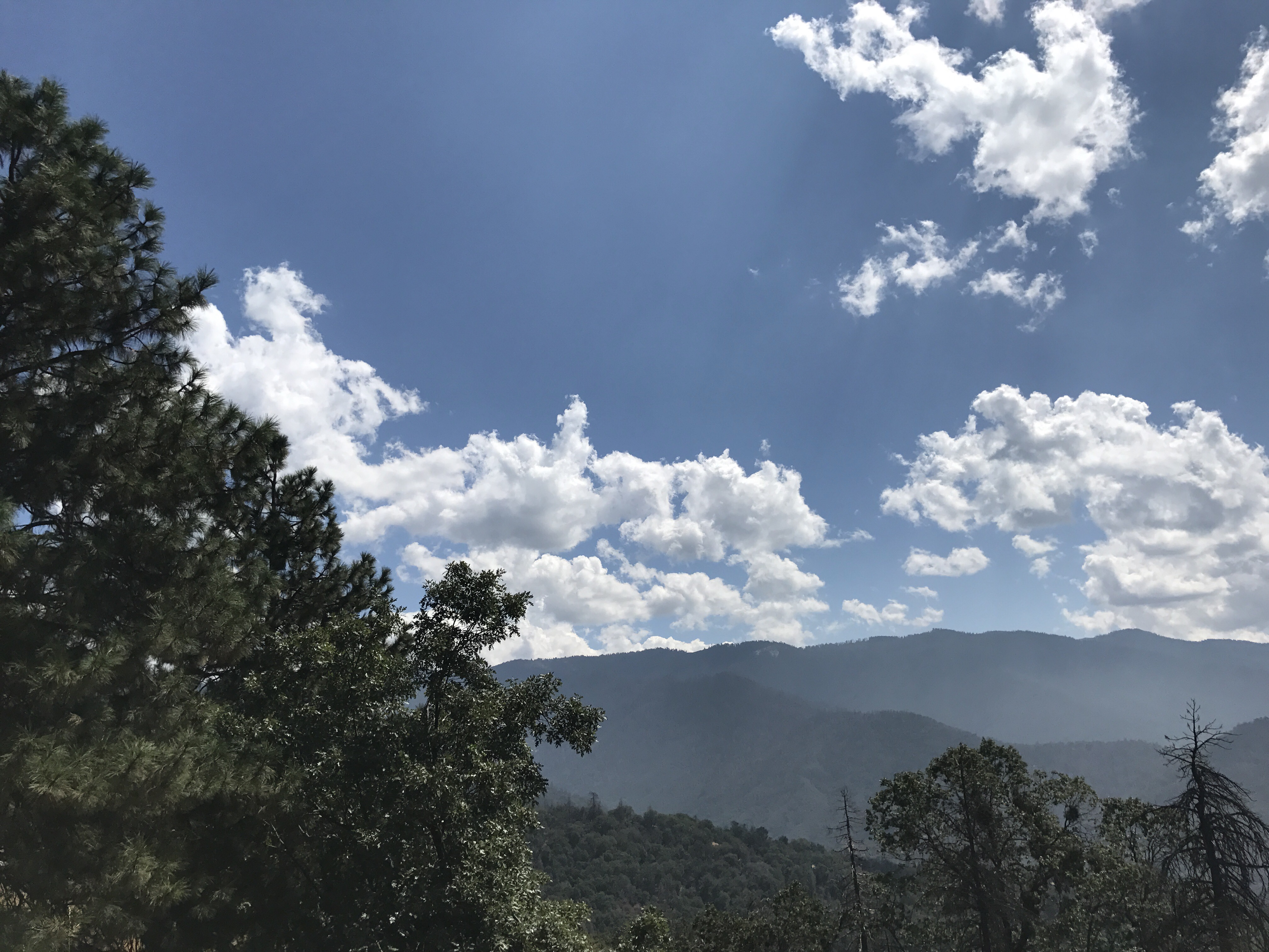
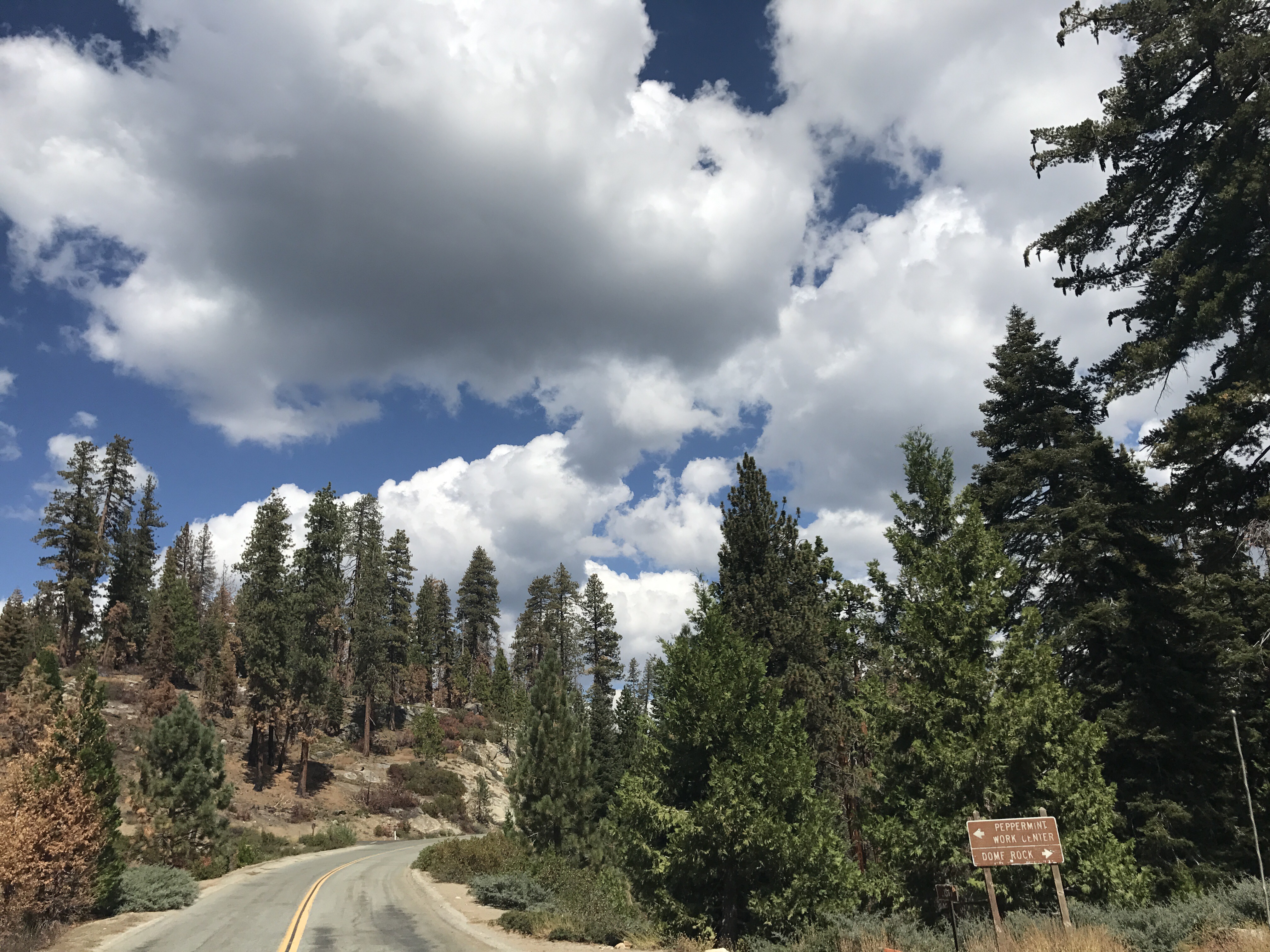
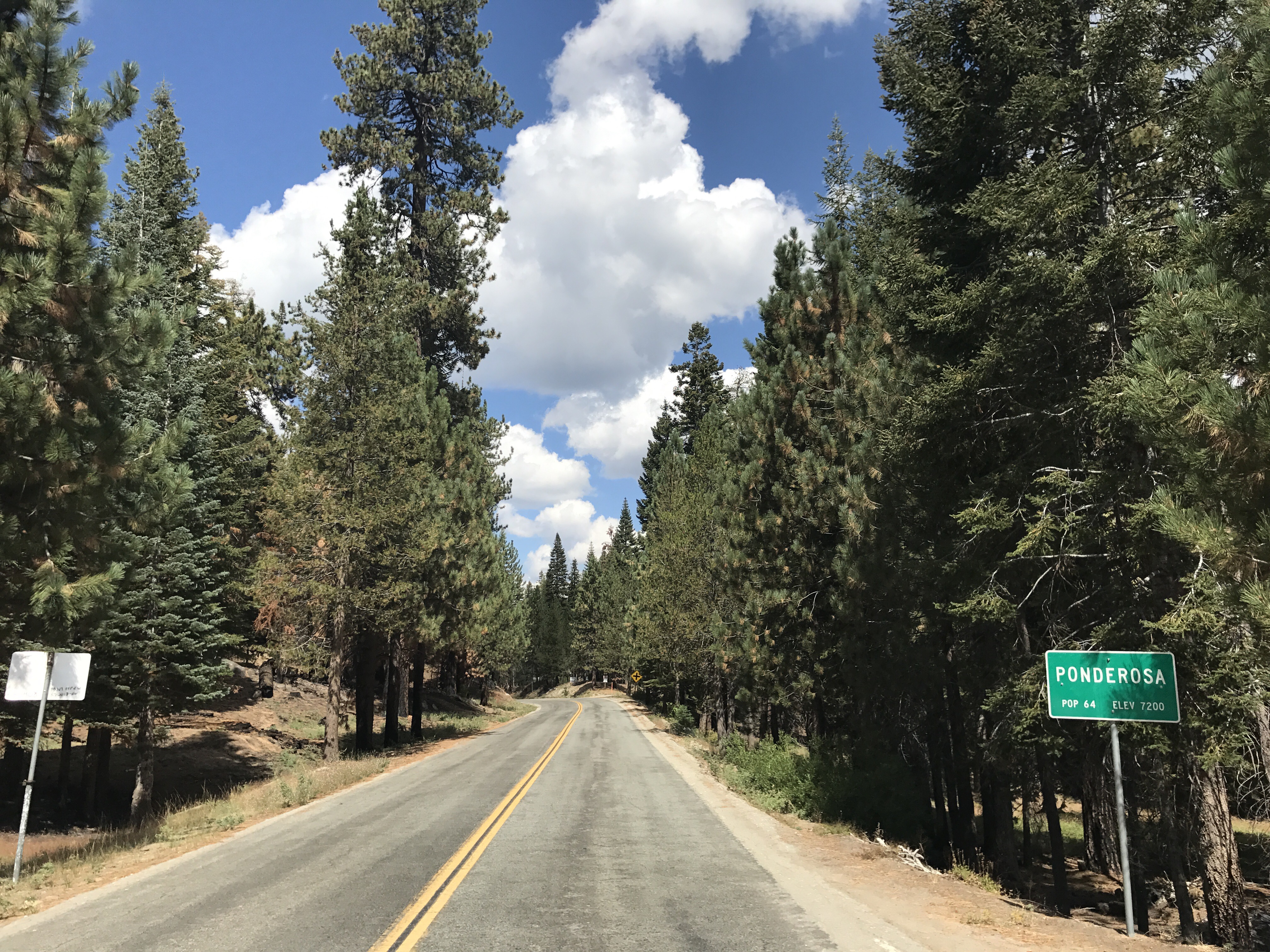
Since highway 190 is still closed going up the mountain, we took the southern route through California Hot Springs. So nice to not have smoky air as we do in Valley.
Great news on a Saturday morning!
Size: 25,268 acres
Fire Start: August 29, 2017
Containment: 50 percent
Location: Highway 190, east of Springville
Total Personnel: 1,728
Cause: Human caused, under investigation
Resources: Crews 35, Helicopters 8, Engines 138, Dozers 22, Water Tenders 14
Announcement: This evening, September 9, starting at 6 pm there will be a community meeting at the Porterville College Student Center to update the public on the Pier Fire status, evacuations and road closures.
Fire Summary: Last night firefighters again made good progress along the fire’s perimeter. Crews patrolled and mopped up along the containment line on the western and northern portions of the fire. Additional firing operations from Rogers Camp towards Coy Flat increased and widened the perimeter line to keep fire from moving past it. Additional reinforcement and firing will continue today in those areas.
Firefighters will continue to prepare and improve line on the south edge of the fire on the Tule River Indian Reservation in preparation for a firing operation.
Fire suppression repair (impacts directly caused by firefighting efforts or activity) will begin today on the western and northern portions of the fire.
Weather and Fire Behavior: Low pressure will remain off the California coast over the next couple days. Winds will turn from southwest to a southeast direction over the weekend bringing monsoonal moisture into the fire area for a return threat of thunderstorms. Today’s maximum temperatures 85-92 below 3000 feet, 73-83 at higher elevations. Minimum humidity 23-29% below 3000 feet, 35-40 % at higher elevations. Winds will generally be upslope 3-6 mph gusting to around 15 mph after 1200. Surrounding ridges will see southeast to southwest winds 4-7 mph.
Evacuations: Tulare County has two levels of evacuations: voluntary and mandatory. Mandatory evacuations are issued when the fire poses an imminent threat to life and property. There are currently no voluntary evacuations.
Mandatory: Sequoia Crest, Mountain Aire, Rogers Camp, Pierpoint Springs, Cedar Slope, Camp Nelson, Doyle Springs, Alpine Village, Wishon
Evacuation Center: As of 8 pm last evening the Red Cross shelter in Porterville was closed, there were no longer any evacuees that were sheltered at that location.
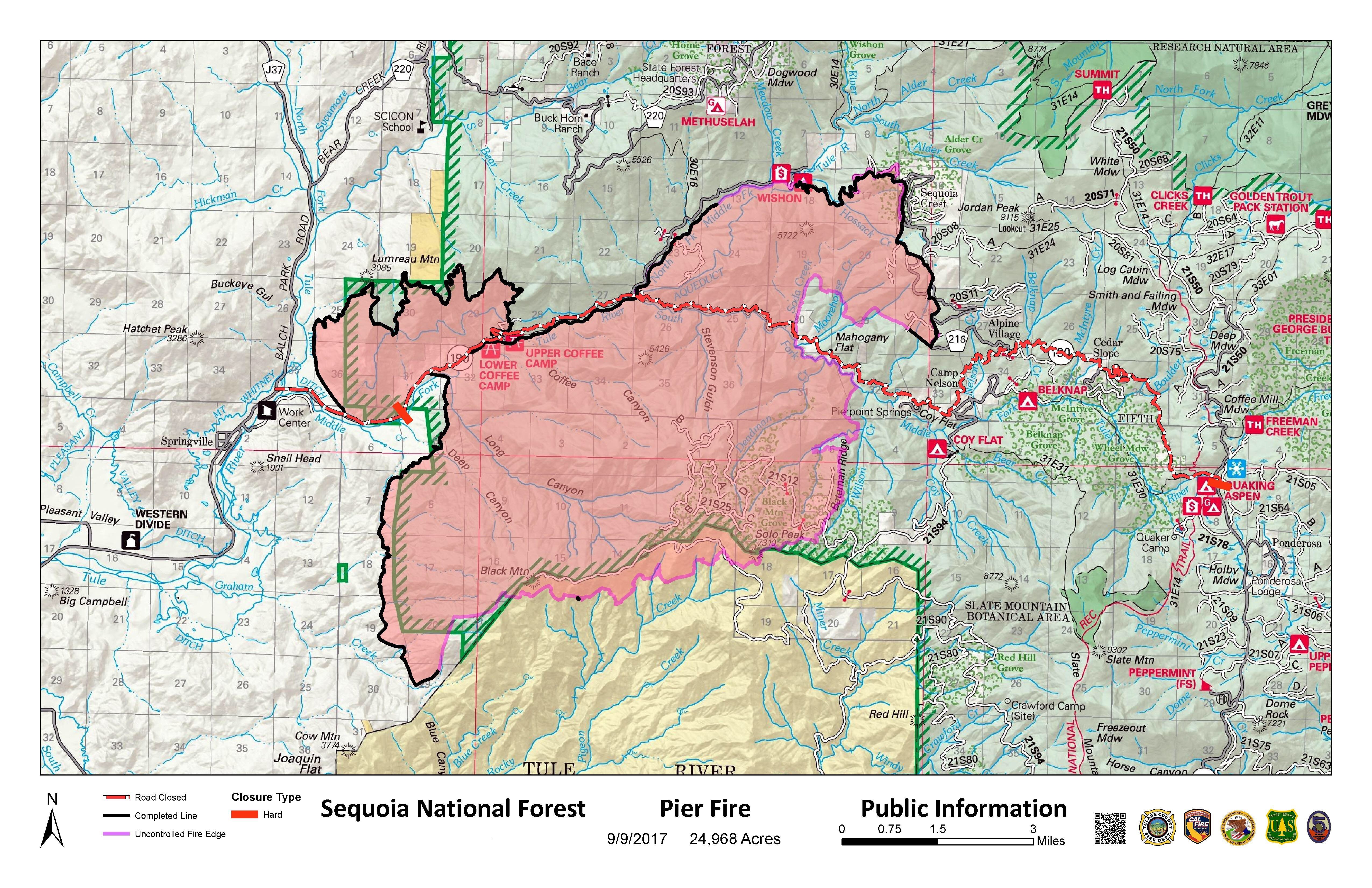
Area Closures: Sequoia National Forest trails, roads, and lands around the Pier Fire are closed (Closure Order No. 0513-17-34, https://inciweb.nwcg.gov/incident/article/5548/39662/. CAL FIRE has closed Mountain Home State Forest, and Tulare County has closed Balch Park. All areas are closed until the fire is brought under control. Suppression repair work will take additional time after the fire is contained; recreationists should plan ahead.
Hard Road Closures: The following roads are closed to all traffic:
Cow Mountain Road at its intersection with Rio Vista Road.
Highway 190 east of Springville is closed at Upper Rio Vista Road to eastbound traffic.
Highway 190 north of Ponderosa is closed at Forest Road 21S50 to westbound traffic.
Smoke:
Information for the levels of smoke in communities affected by the Pier Fire; http://wildlandfiresmoke.net/outlooks/2017/Pier#Main
People with respiratory conditions, young children, and elderly people may be susceptible to adverse effects. Air District officials urge residents to follow their doctor’s advice. For more information, see https://www.cdc.gov/features/wildfires/index.html or http://valleyair.org/wildfires.htm
Basic Information
Current as of 9/9/2017, 8:19:21 AM
Incident Type Wildfire
Cause Under Investigation
Date of Origin Tuesday August 29th, 2017 approx. 02:30 AM
Location Highway 190 at Wishon Road 7 miles East of Springville
Incident Commander Mike Minton, CIIMT5 Jeff McLaughlin (TC), Derek Staberg (CalFire TUU)
Current Situation
Total Personnel 1,728
Size 25,268 Acres
Percent of Perimeter Contained 50%
Fuels Involved
Dormant Brush, Hardwood slash, timber, including areas affected by tree mortality. Fire is located in a heavy timber mortality area. The southern portion of the fire is burning in a location with little to no recorded fire history.
Significant Events
Diminishing relative humidity recovery led to active surface fire in the heavier fuels at higher elevations. Isolated pockets of vegetation were creeping and smoldering throughout the day at lower elevations. Rollout diminished along steep terrain as fuels are consuming completely
Outlook
Planned Actions
Provide structure protection for threatened communities and infrastructure. Construct direct and indirect containment line where feasible. Plan and construct contingency line.
Projected Incident Activity
A full suppression strategy is to be implemented on the Pier Fire. Values at risk associated with the incident include human safety, private property, and associated improvements, electrical power infrastructure, Giant Sequoia groves, and cultural values. Minimize acres burned on privately owned and tribal lands. Apply tactics on public lands that offer the highest probability of success.
Remarks
The voluntary evacuation order for the Upper Rio Vista Area was rescinded today.
Thank you Southern California Edison! ❤️
No new map yet.
Size: 24,225 acres
Fire Start: August 29, 2017
Containment: 35 percent
Location: Highway 190, east of Springville
Total Personnel: 1,767
Cause: Human caused, under investigation
Resources: Crews 35, Helicopters 8, Engines 131, Dozers 21, Water Tenders 14
Photo of Black Mountain back burn this evening, courtesy of Anthony Martin.
Fire Summary: An increase in containment on the west side of the fire occurred today, and should continue as hot spots cool. Some areas are difficult to access, an infrared flight overnight will assist firefighters in finding hot spots along the fires edge near Wishon Campground. Containment lines near Sequoia Crest are holding.
The most active part of the fire is near Bateman Ridge and Wilson Creek south of Camp Nelson. Fire crews constructed fireline today and will begin a firing operation along the perimeter between Highway 190 to Rogers Camp. Structure protection crews have been assessing houses and outbuildings and are prepared to defend them. Fireline construction continues in the area of Coy Flat, along Forest Road 21S94 to Rogers Camp.
The contingency lines from Alpine to Highway 190 are in place. Firing began late today to strategically bring the active fires edge to the established perimeter. Crews will be closely monitoring firing operations and will quickly extinguish any hotspots that threaten the perimeter.
Firefighters continue to improve and strengthen indirect firelines south of Black Mountain in the Tule River Indian Reservation. On the southwest part of the fire, burning operations above Rio Vista were completed today. This perimeter will continue to be monitored until all hot spots that threaten the line are extinguished. There will be smoky conditions overnight and in the morning due to firing operations.
Watch today’s operational briefing, with Operations Chief Keith Gurrola on the SQF Facebook Page
Weather and Fire Behavior: Skies will be clear with minimal clouds. There is no prediction of approaching thunderstorms to the area today. Temperatures will be in the mid-80s with the relative humidly in the 30s. Winds will be out of the southwest at 3-6 mph. Slight winds will be focused in the canyons this morning.
Evacuations : Tulare County has two levels of evacuations: voluntary and mandatory. A voluntary evacuation means residents should either evacuate or be prepared to do so, should fire conditions worsen. Mandatory evacuations are issued when the fire poses an imminent threat to life and property.
Mandatory: Sequoia Crest, Mountain Aire, Rogers Camp, Pierpoint Springs, Cedar Slope, Camp Nelson, Doyle Springs, Alpine Village, Wishon
Voluntary: Upper Rio Vista, Cow Mountain (Springville area)
Evacuation Center: Porterville College, Student Center, 100 E. College Ave., Porterville. Call 661-324-6427 (weekdays) or 800-REDCROSS (1-800-733-2767).
Area Closures: Sequoia National Forest trails, roads, and lands around the Pier Fire are closed (Closure Order No. 0513-17-34, https://inciweb.nwcg.gov/incident/article/5548/39662/. CAL FIRE has closed Mountain Home State Forest, and Tulare County has closed Balch Park. All areas are closed until the fire is brought under control. Suppression repair work will take additional time after the fire is contained; recreationists should plan ahead.
Hard Road Closures: The following roads are closed to all traffic:
Highway 190 east of Springville is closed at Upper Rio Vista Road to eastbound traffic.
Highway 190 north of Ponderosa is closed at Forest Road 21S50 to westbound traffic.
Soft Road Closures: The following roads are open only to residents with a photo ID:
Upper Rio Vista Road
Smoke:
Information for the levels of smoke in communities affected by the Pier Fire; http://wildlandfiresmoke.net/outlooks/2017/Pier#Main
People with respiratory conditions, young children, and elderly people may be susceptible to adverse effects. Air District officials urge residents to follow their doctor’s advice. For more information, see https://www.cdc.gov/features/wildfires/index.html or http://valleyair.org/wildfires.htm
Basic Information
Current as of 9/7/2017, 7:29:08 PM
Incident Type Wildfire
Cause Under Investigation
Date of Origin Tuesday August 29th, 2017 approx. 02:30 AM
Location Highway 190 at Wishon Road 7 miles East of Springville
Incident Commander Mike Minton, CIIMT5 Jeff McLaughlin (TC), Derek Staberg (CalFire TUU)
Current Situation
Total Personnel 1,767
Size 24,225 Acres
Percent of Perimeter Contained 35%
Fuels Involved
Dormant Brush, Hardwood slash, timber, including areas affected by tree mortality. Fire is located in a heavy timber mortality area. The southern portion of the fire is burning in a location with little to no recorded fire history.
Significant Events
By this afternoon, full sun from cloudless skies diminished the effects of relative humidity recovery. Active surface fire was seen in the heavier fuels at higher elevations. Isolated pockets of smoldering vegetation were still observed throughout the day at lower elevations. Rollout diminished along steep terrain as fuels are consuming completely.
Outlook
Planned Actions
Provide structure protection for threatened communities and infrastructure. Construct direct and indirect containment line where feasible. Plan and construct contingency line.
Projected Incident Activity
A full suppression strategy is to be implemented on the Pier Fire. Values at risk associated with the incident include human safety, private property, and associated improvements, electrical power infrastructure, Giant Sequoia groves, and cultural values. Minimize acres burned on privately owned and tribal lands. Apply tactics on public lands that offer the highest probability of success.


